50.1 ACRES
IMPROVED AND READY TO
BUILD
MAJOR PORTION OF THE
HISTORIC KNOWLTON FARM
|
Contact Peter at (908) 347-0256 or prepalaw@ix.netcom.com |
|
|
|
|
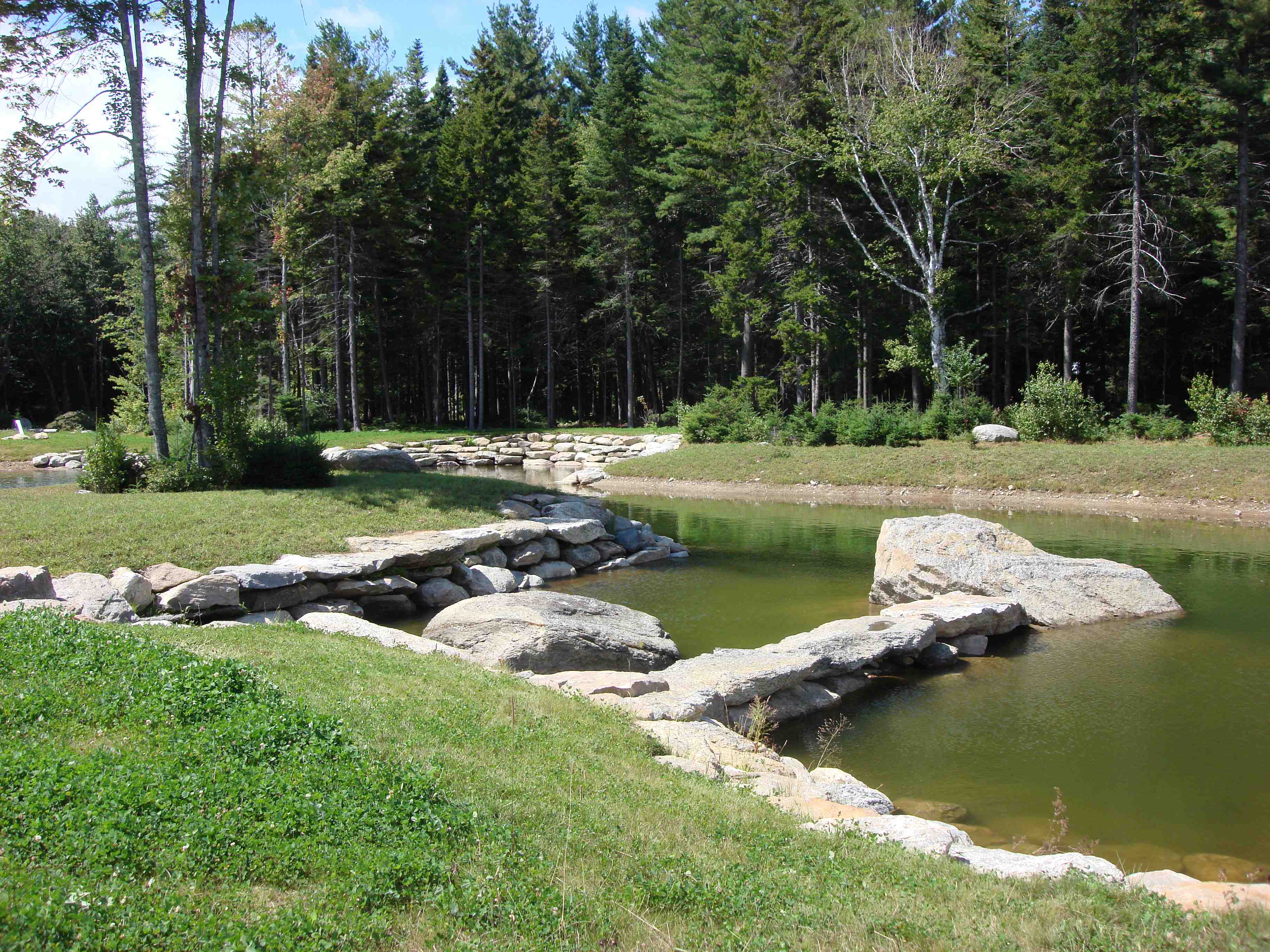
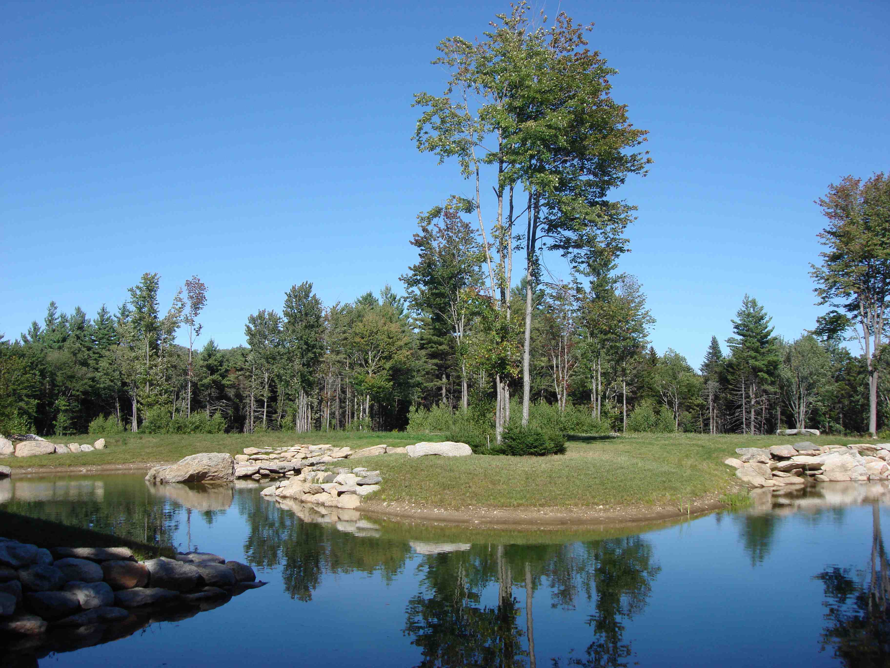
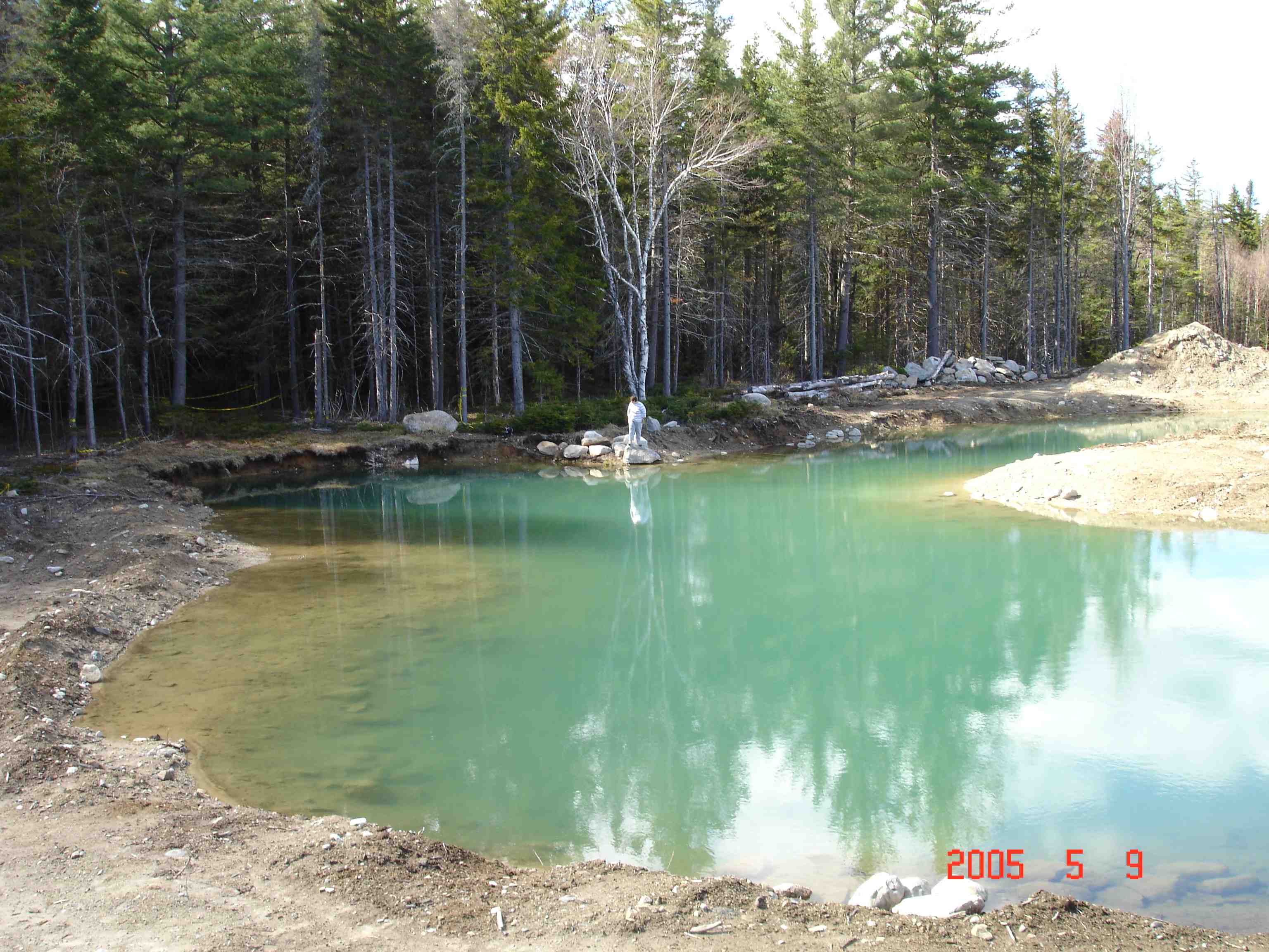
The embrace of water, stone, clover and forest. Part of your pond confined by a granite retaining
wall. The minerals in the glacial clay bottom exude bluish green
balm. More pond photos below.
We sculptured the
forests in
Your view of
the "Manicknung" (
Our work was
thoughtfully planned and took years to execute.
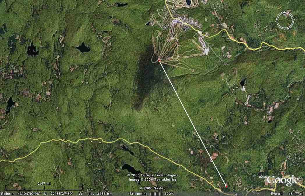
See the Satellite
Overview of the Pond, Meadow, Access Road and surrounding area at:
https://www.google.com/maps/place/44+Knowlton+Farm+Rd,+Green+Mountain+National+Forest,+Stratton,+VT+05360/@43.0332431,-72.8848603,329m/data=!3m1!1e3!4m2!3m1!1s0x89e0f9fa1c98d19d:0xd0b6a352ce655eff
<https://www.google.com/maps/place/44+Knowlton+Farm+Rd,+Green+Mountain+National+Forest,+Stratton,+VT+05360/@43.0332431,-72.8848603,329m/data=%213m1%211e3%214m2%213m1%211s0x89e0f9fa1c98d19d:0xd0b6a352ce655eff>
We have prepared a
"blank canvas" for you to complete in the manner of your own choosing.
This property is ready for that family, who just wants to build their dream
house and achieve the aesthetics desired by them. You have been spared
the aggravation, uncertainty, delay and risk associated with "pioneering
the land".
We have perked and
permitted this property for your 8-bedroom home or family estate. Septic
Design approved by the State.
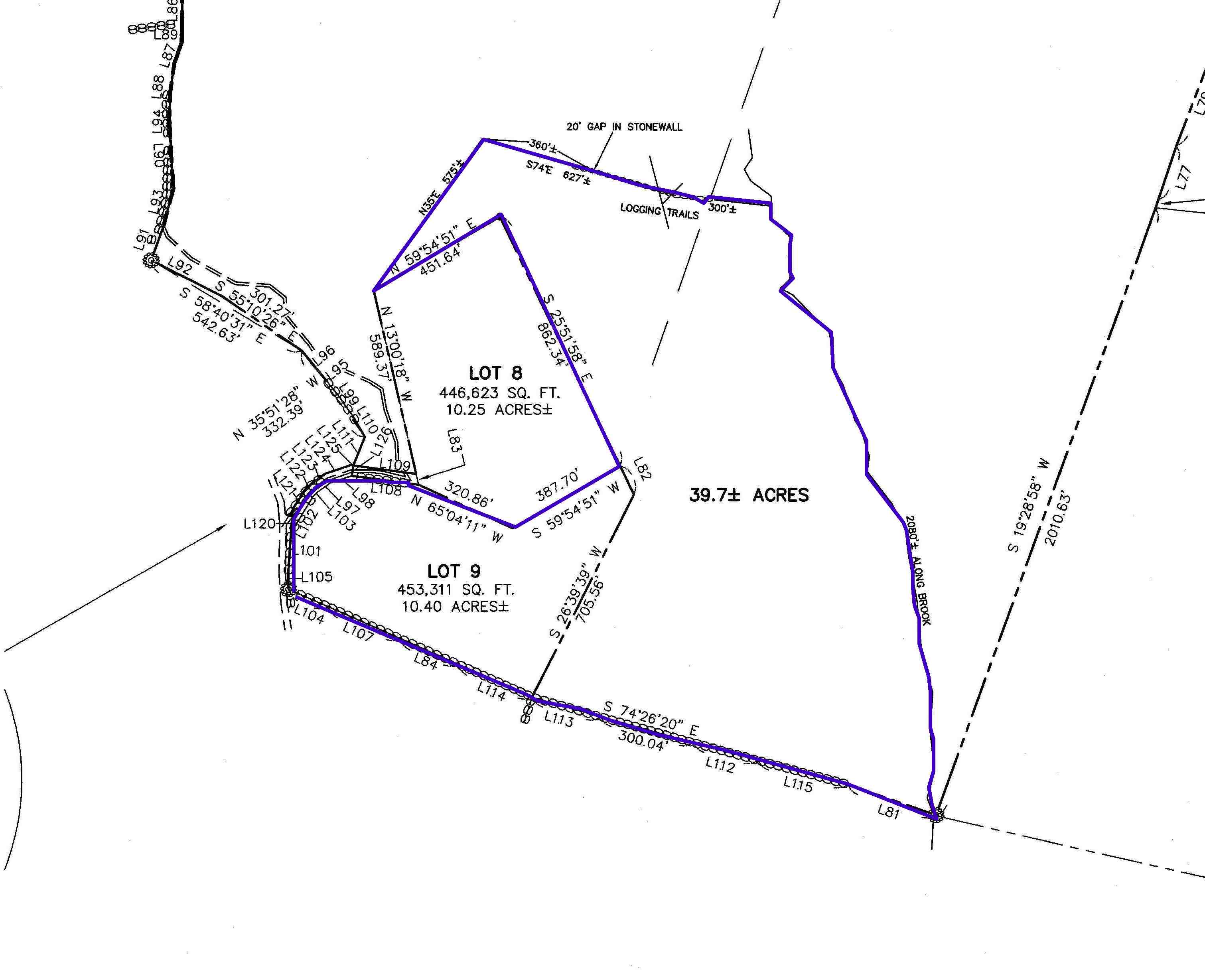
We offer one parcel
of mostly flat land, totaling 50.1 acres, and located within 12 minutes from
the Stratton Mountain Sun Bowl and 20 minutes from
Your privacy is
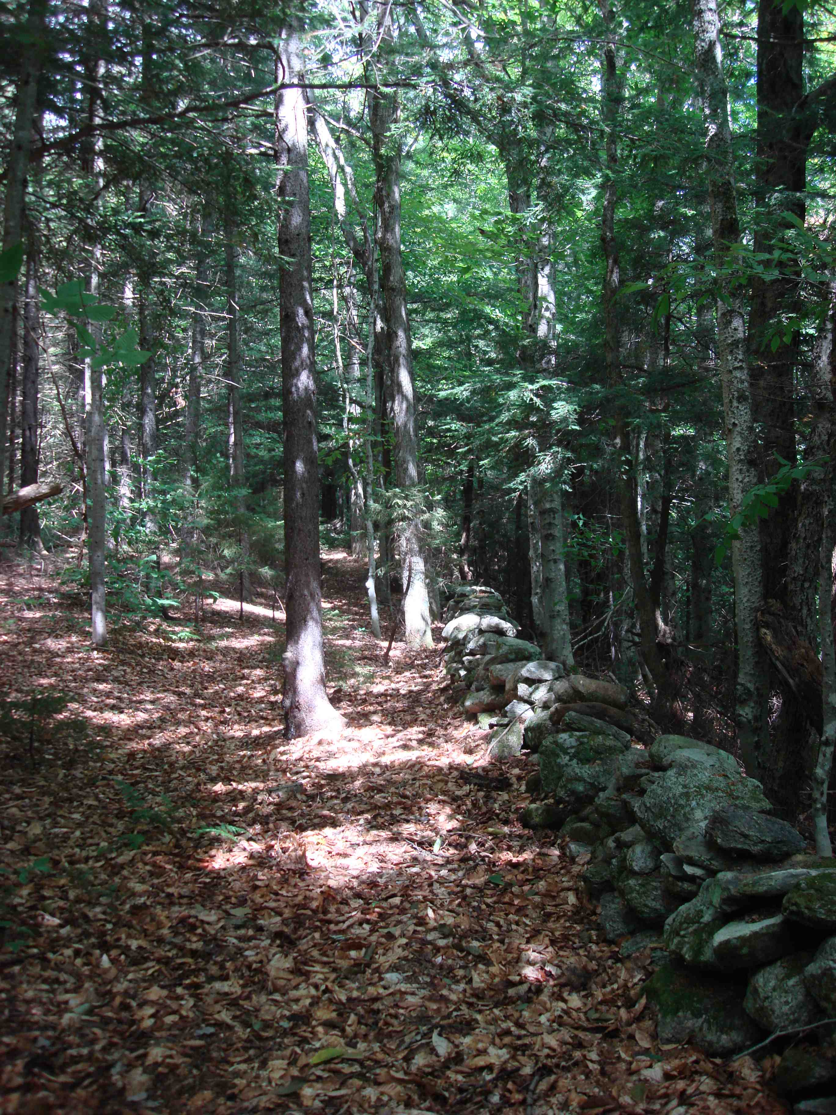
secured by approx. 1,800 ft of stone wall on the southern boundary; +/- 2,080
ft of brook cradled in a "V" shaped ravine to the east; stone walls
to the north; and heavy forest cover on the west.
The perimeter of
the property is outlined in blue on the survey map.
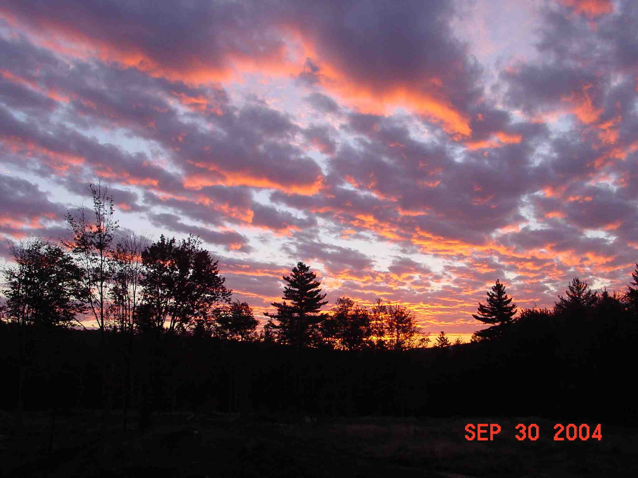
Your line-of-sight view to the summit of the Stratton ski mountain is shown
below.
Drilled 300 ft
water well - Flow established at 20 gallons per minute from a static level of
40 ft below ground.
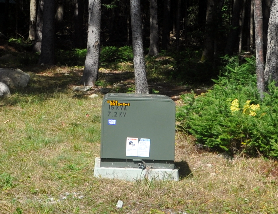
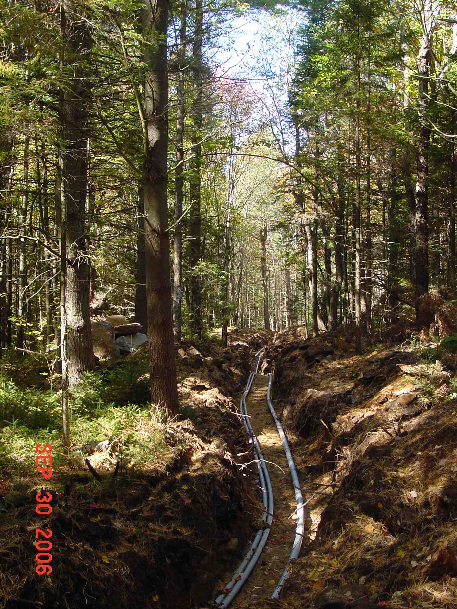
Installed
underground electric power and conduit for
telephone and cable.
Emergency Fire
Department Hydrant installed in Pond for fire suppression.
Location:
See: Stratton Town Map
For a history of
the property, see:
Some insight into
The "Manicknung" -
its mood and meaning
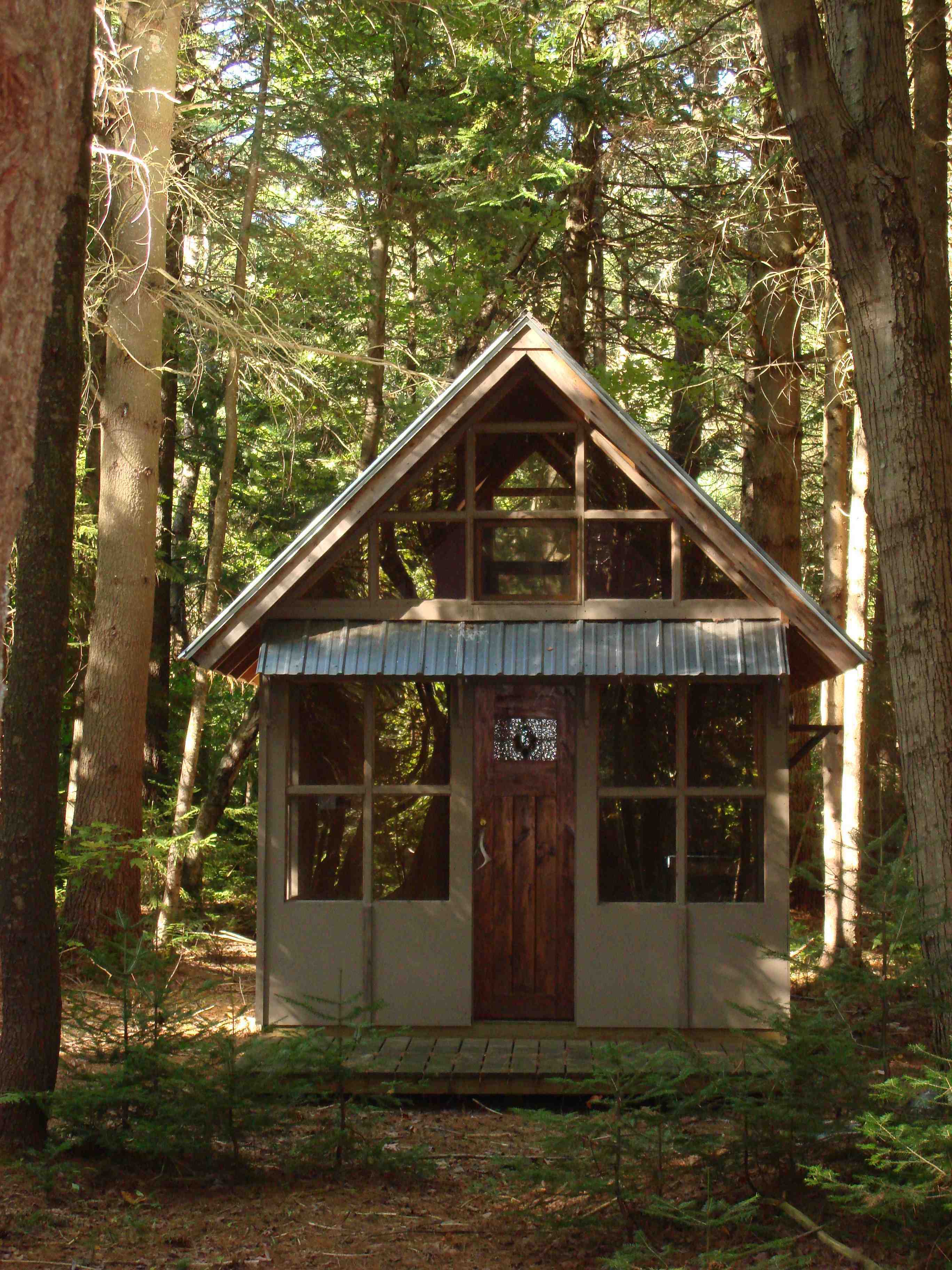
Snapshots of the
pond, completed work-in-progress, observation tower, brook, field and
terrain can be viewed below. Double click on the underlined phrase to
obtain a full page view of the photograph.
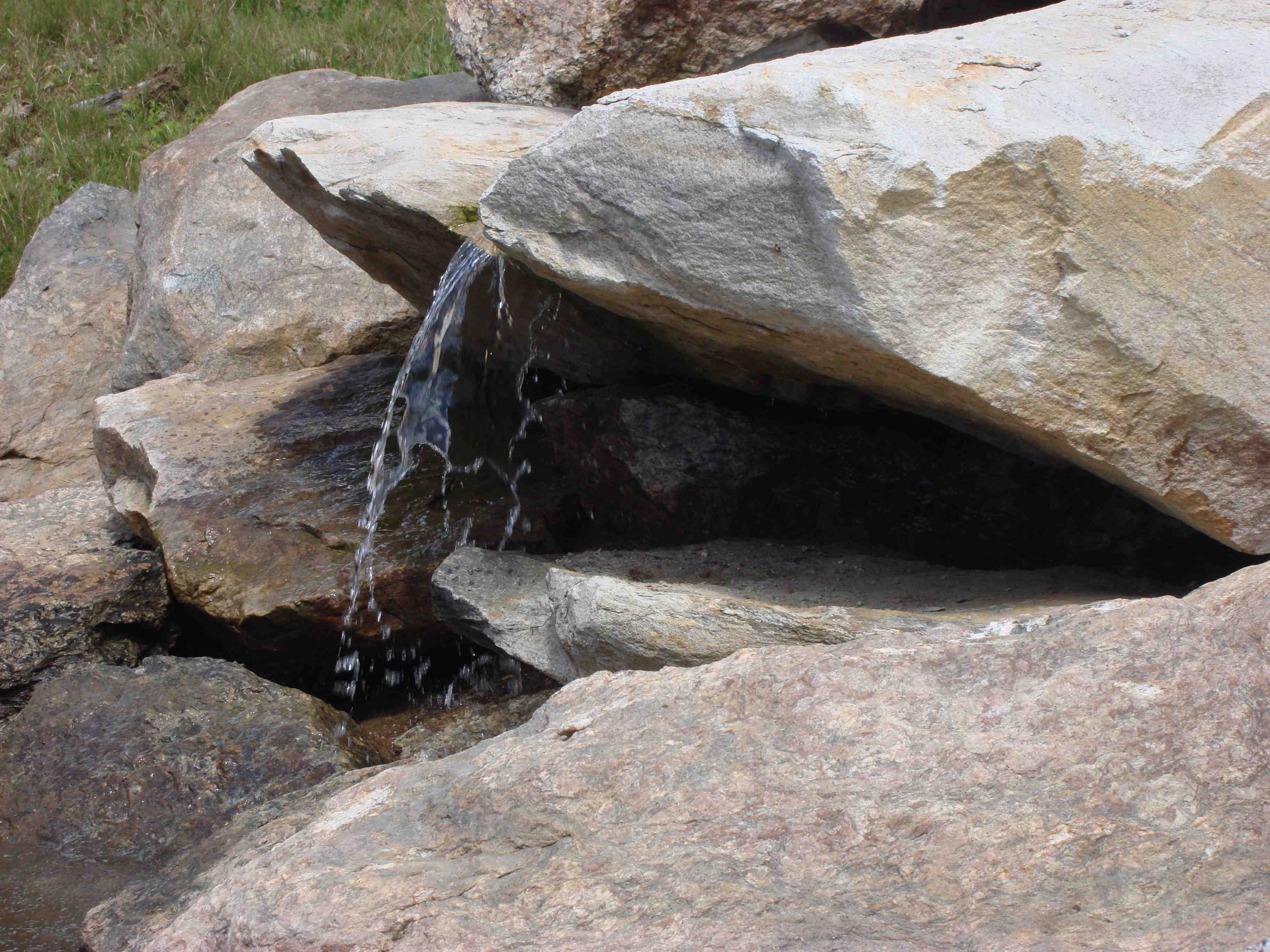
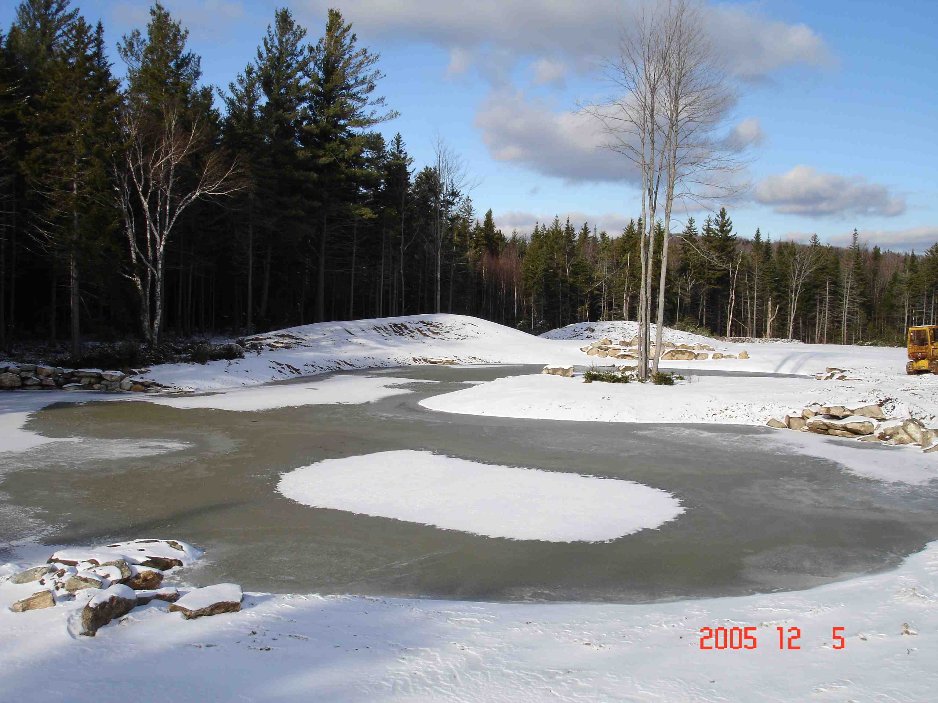
VIEWS OF POND
Walkway; Peninsula;
Flowing water from well; Frozen pond in winter
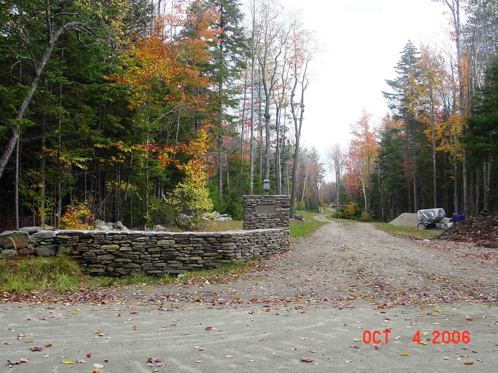
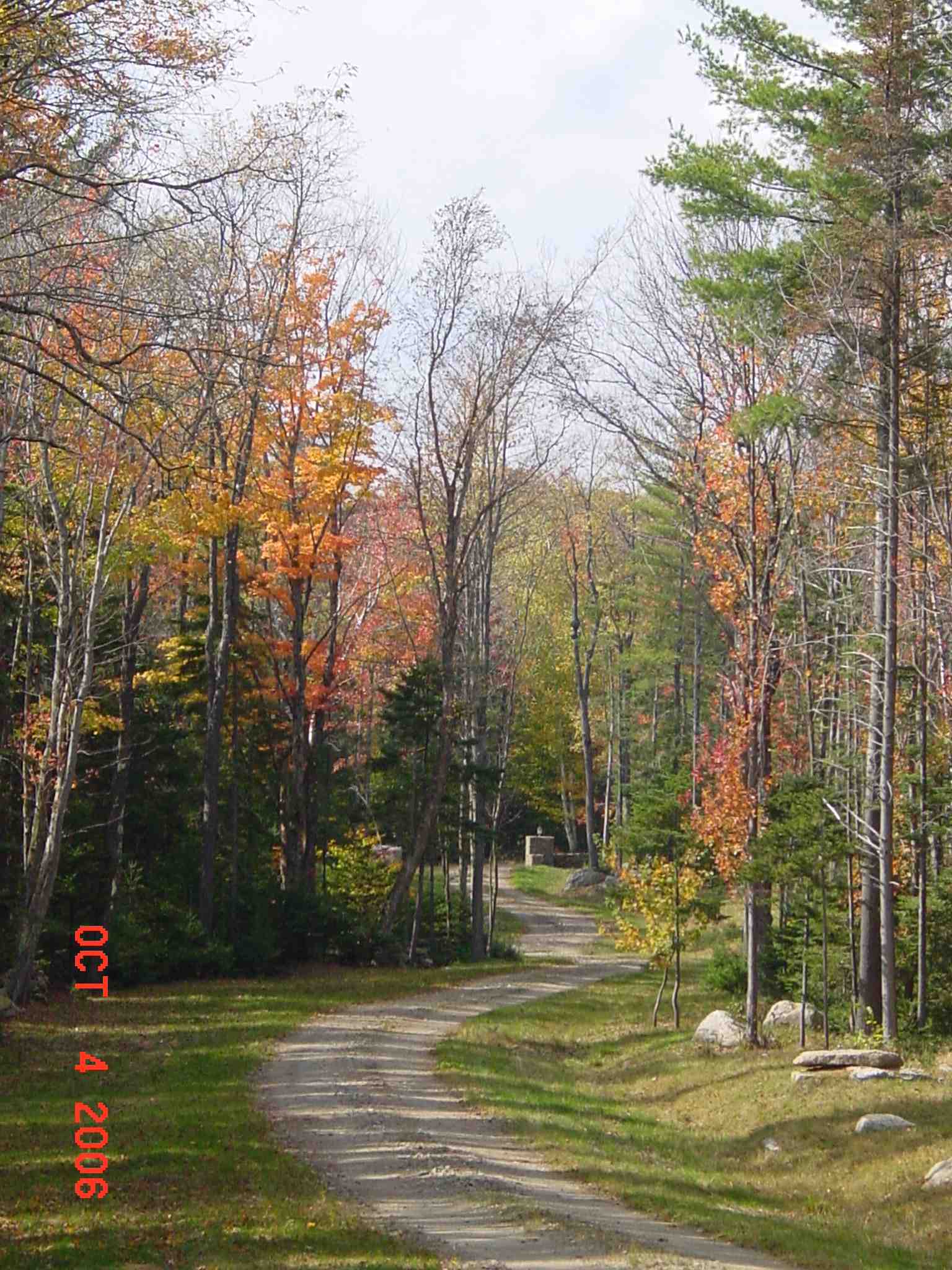
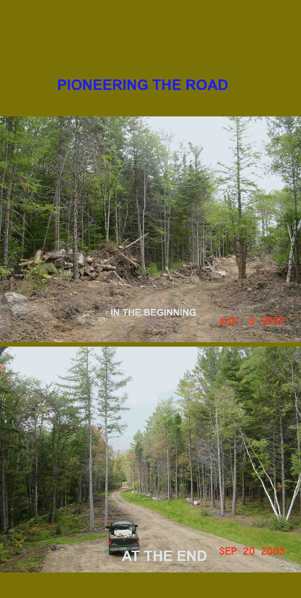
ACCESS ROAD
Entering the property Exiting the property
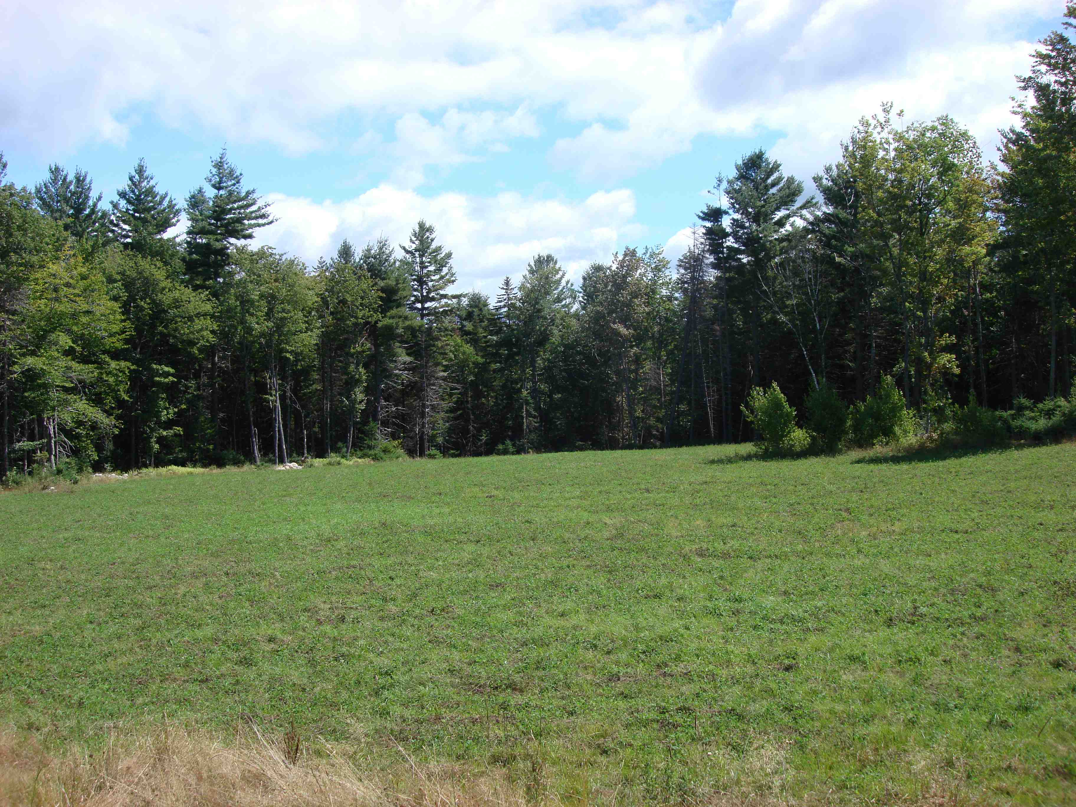
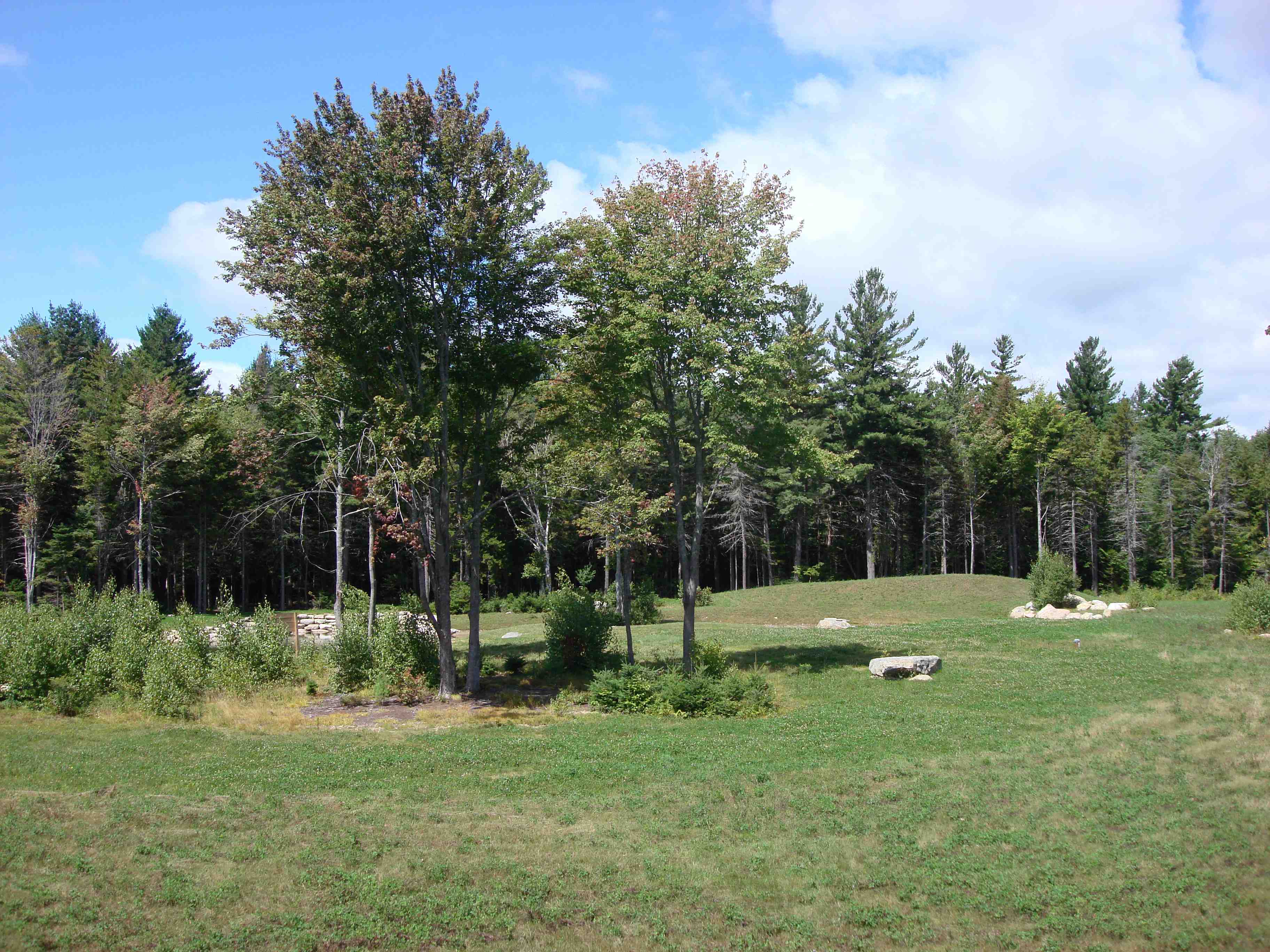
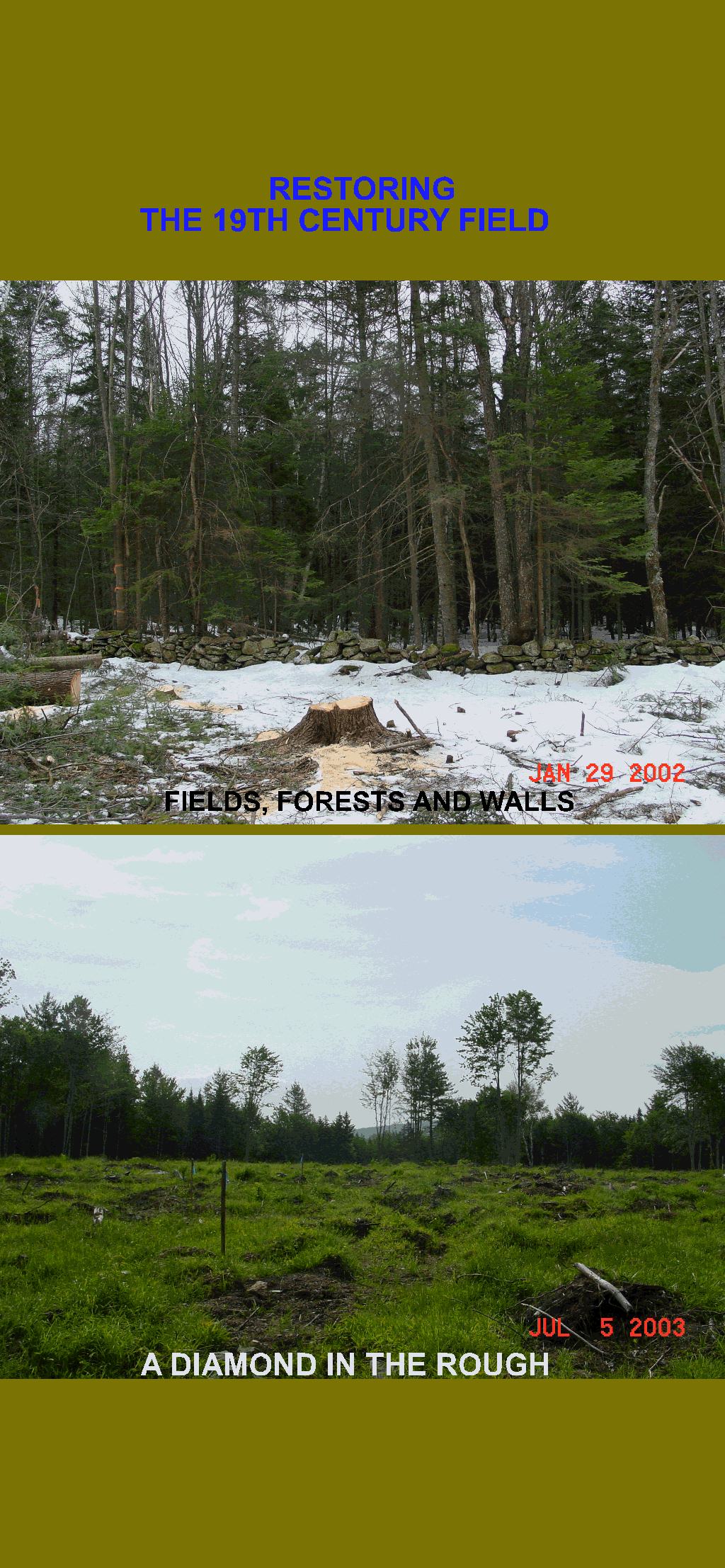
VIEWS OF FIELD
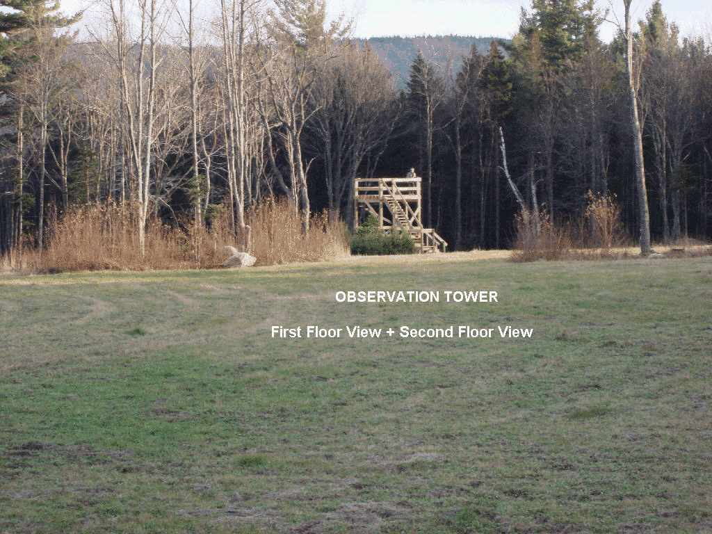
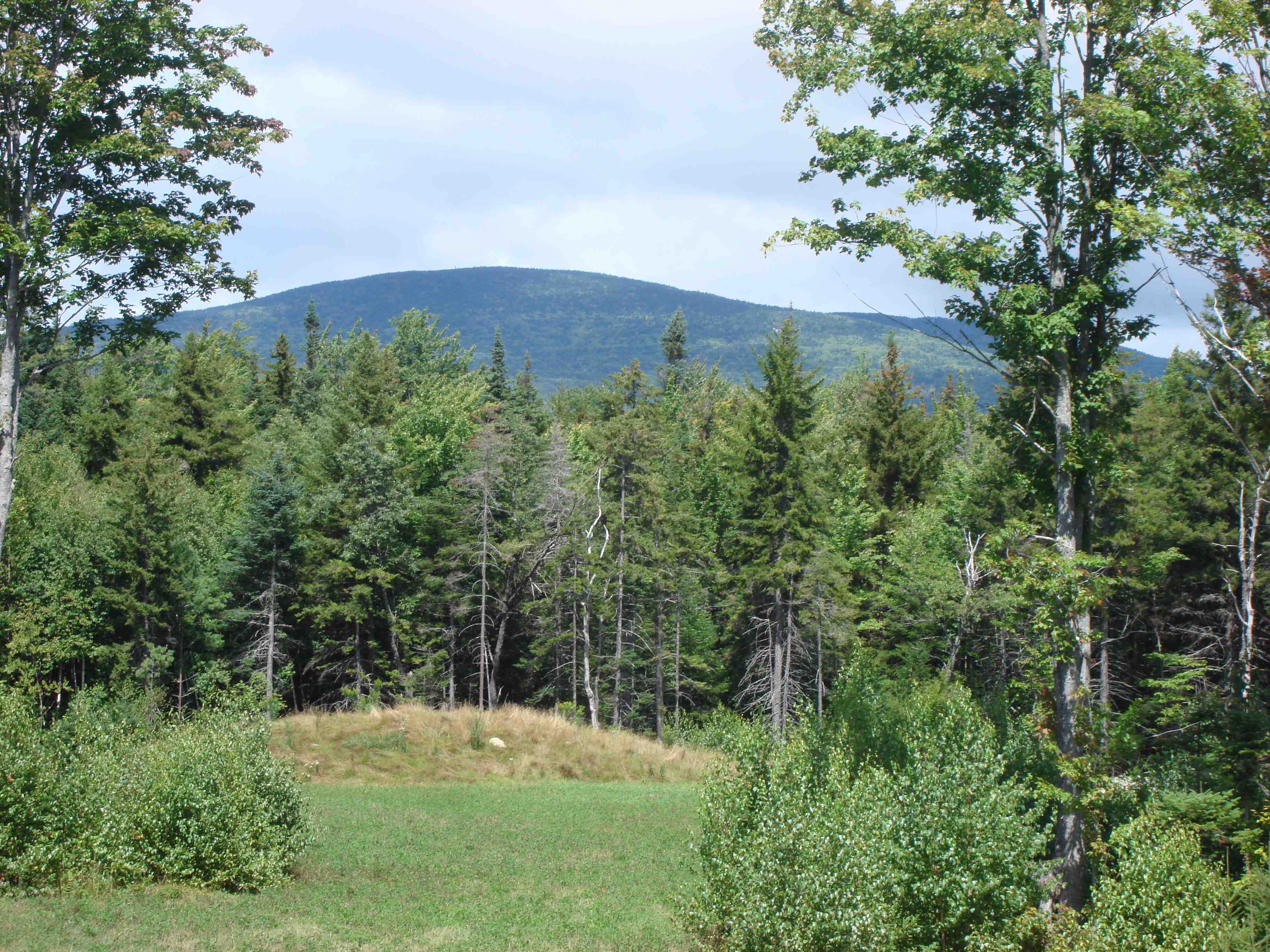
Observation
Tower - south view; Towards Stratton Mountain -
north view; Pond view - west
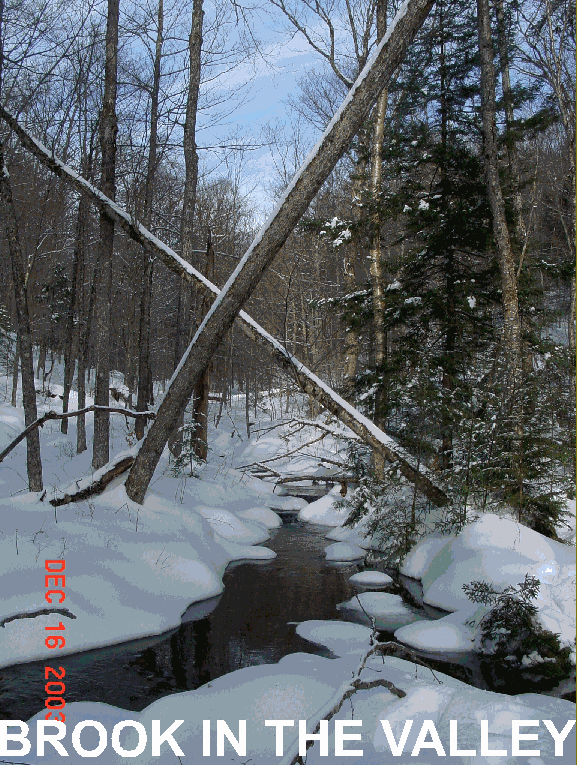
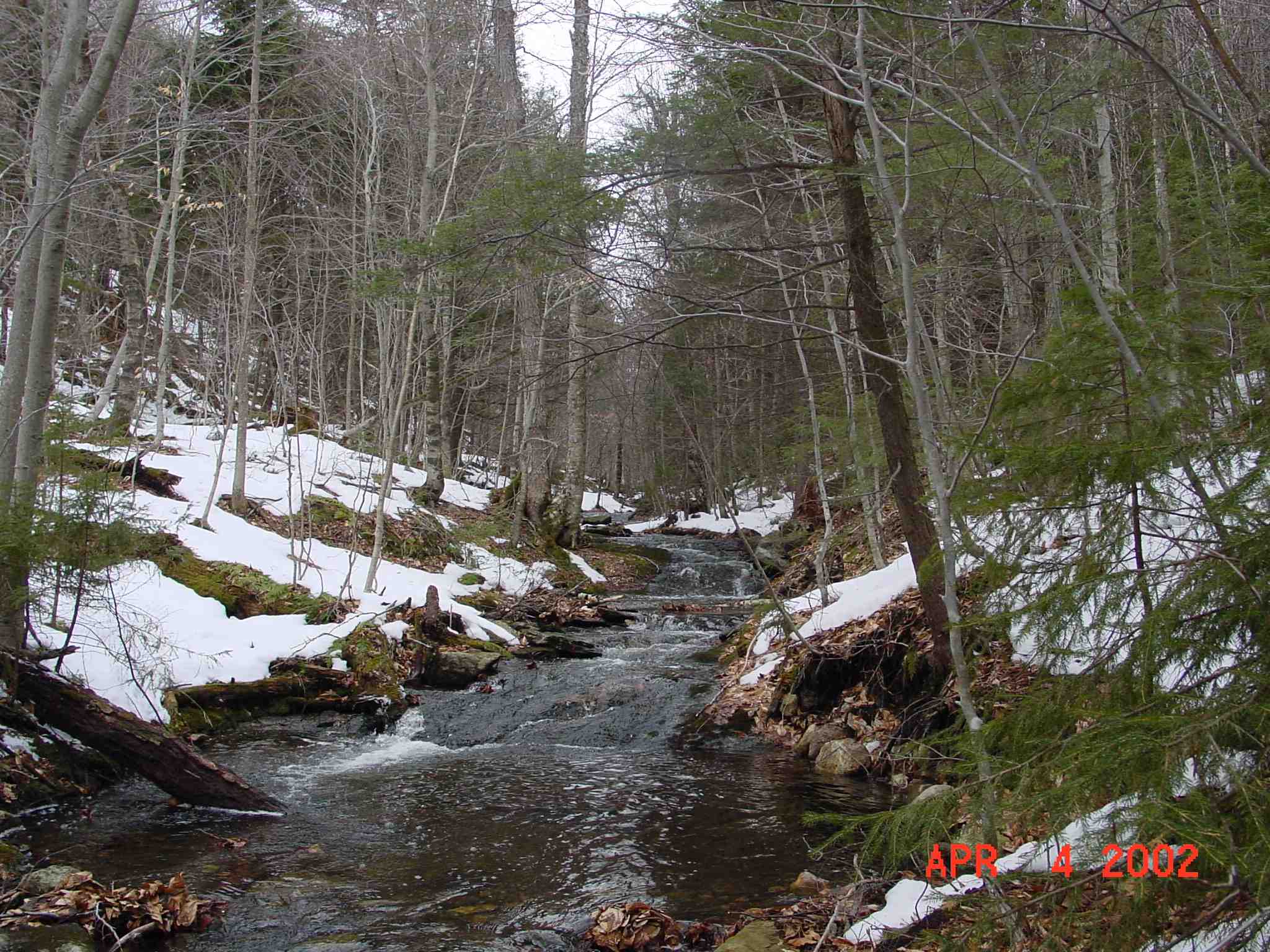
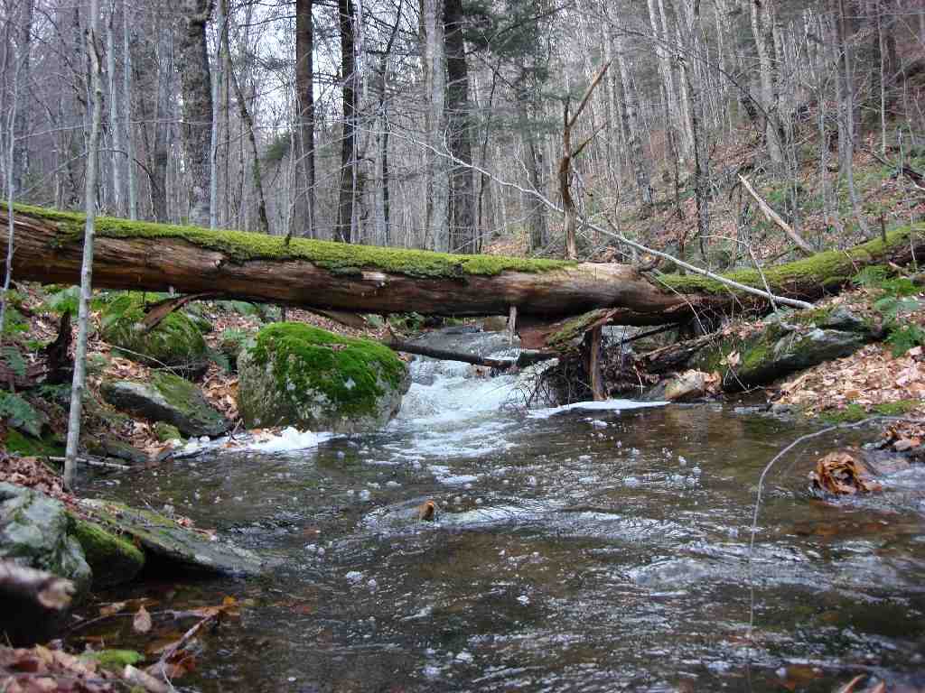
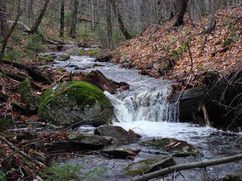
BROOK
Pristine Waters; Snow melt;
Nature's bridge; Plunge pool
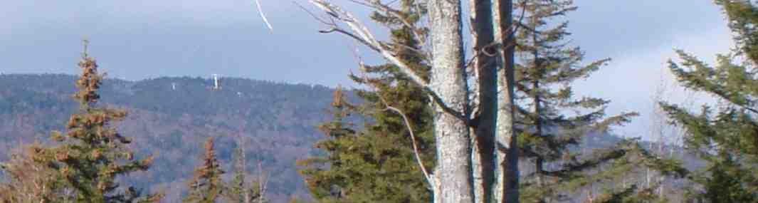
VIEW
OF
Line-of-sight view
to ski mountain; Stratton; Ski
Towers - magnified
WORK-IN-PROGRESS
NOW COMPLETED
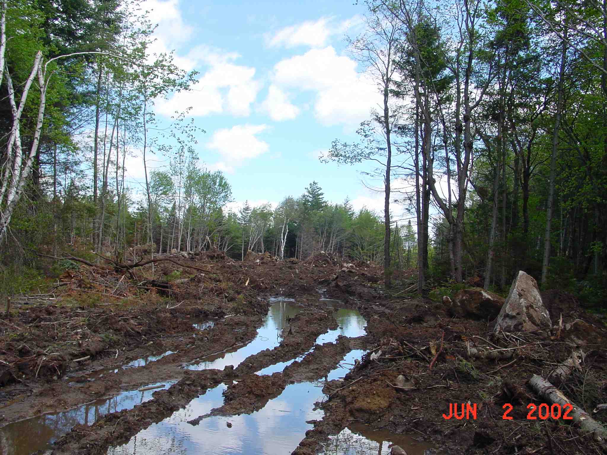
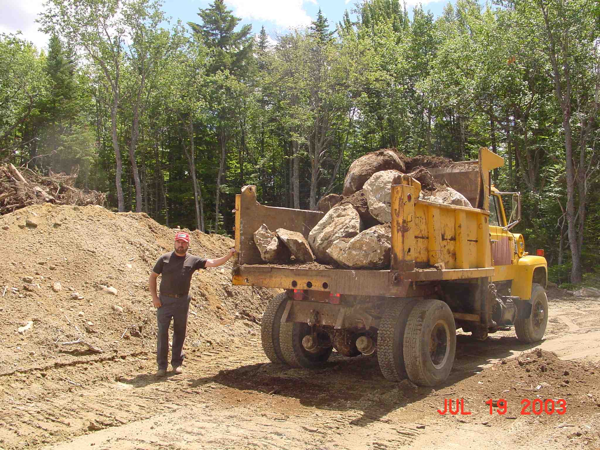
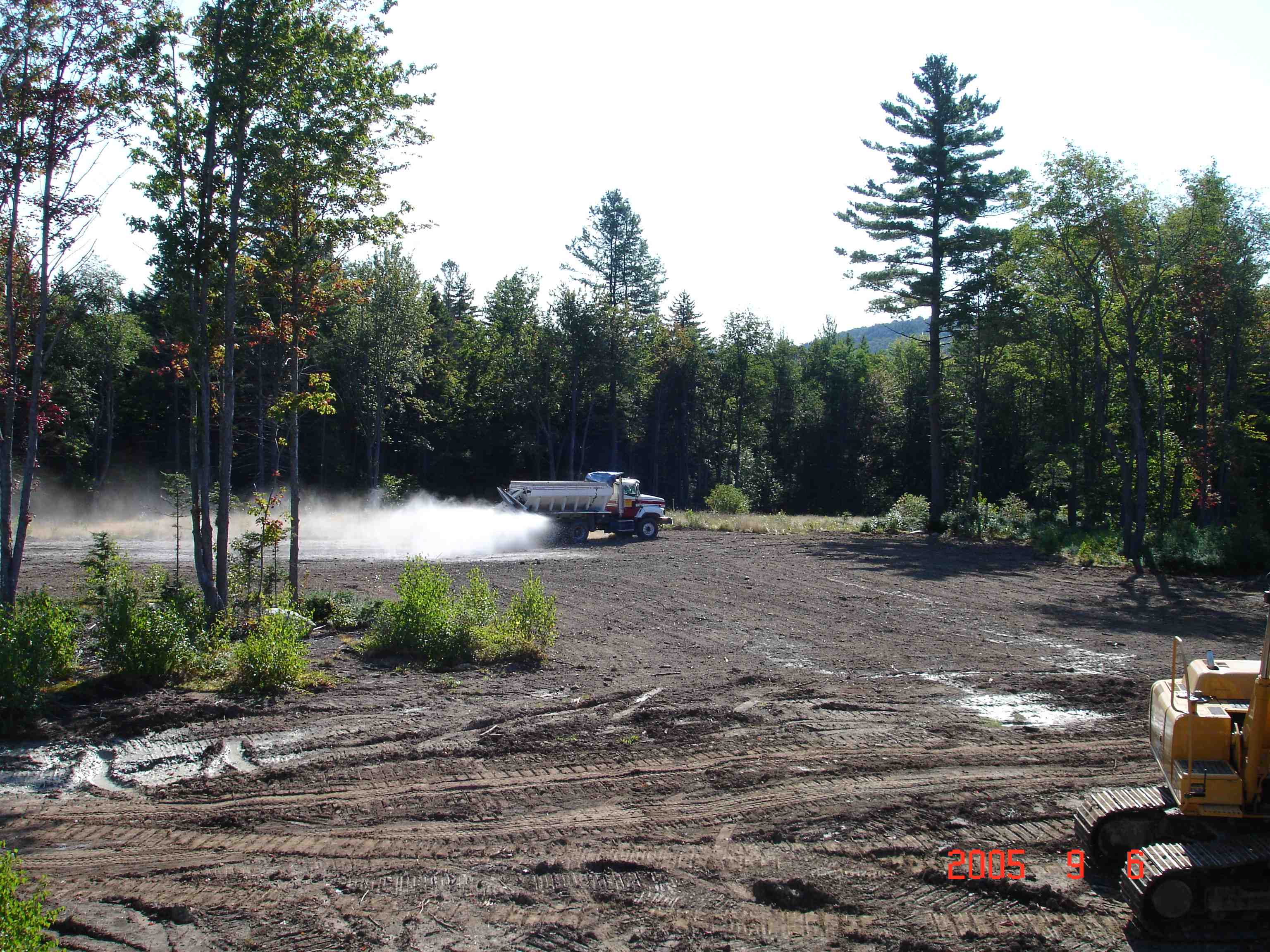
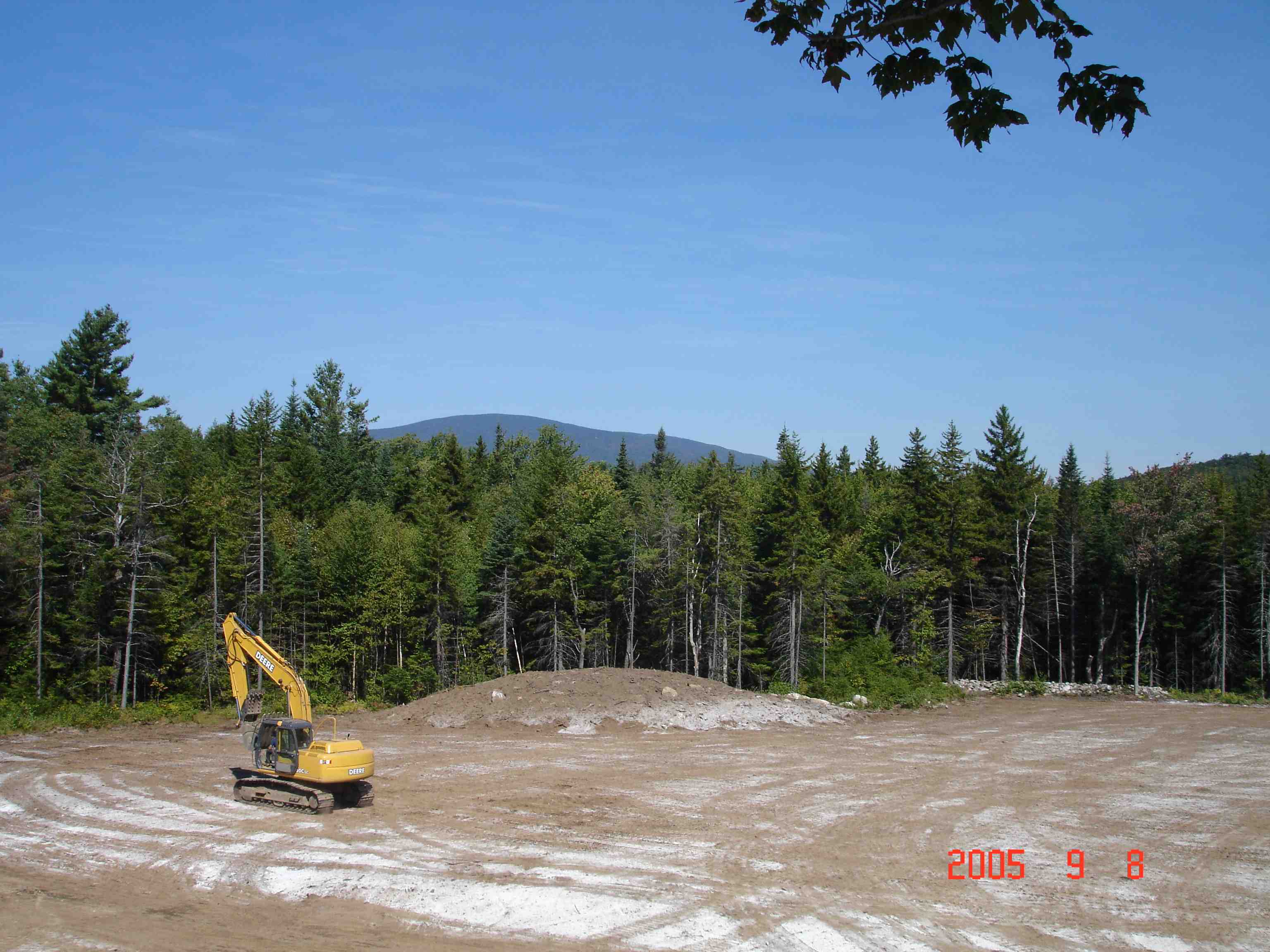
Pioneering
the road; Restoring the field;
rough-cut pond; slogging it out;
relocating
boulders; Liming the field; Tracking in seed;
Power and
utility cables in slit trench
All measurements and data are given as
a guide only. We do not take any responsibility for any error, omission,
or misstatement on this website. Nothing written herein constitutes an
offer or a contract. We do not make or give, on this website, during
negotiations or otherwise, any representation or warranty in relation to the
property. You must obtain our written permission before inspecting the
property. When you enter upon the property, you do so at you own
risk. Your act of entering on our property confirms your agreement
to release us from liability for all terrain injuries and claims arising out of
your use of our observation tower.